Owston Ferry Landscape Archaeology – Geophysics week 1
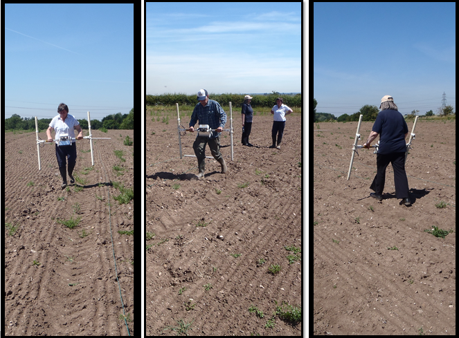
For our first week of landscape archaeology at Owston Ferry we got technical, using geophysics to reveal what was hiding underneath the sun-cracked soil. We have been targeting a field near to the village (with the permission of the landowner) to help further understand the landscape. The results revealed many interesting features, from more modern land drains to potential Medieval ridge and furrow, and some mysterious features in the middle which may be evidence of quarrying – we will have to wait for the next sessions to find out more!
Sean Parker, one of our geophysicists, also picked up a broken flint tool (exact use to be confirmed), and noticed that there was a lot of other finds waiting to be picked up all over the field. So everyone booked onto our field walking workshops next week are in for a treat!
Our volunteers were amazed at how the technology worked, and commented on how useful it was in identifying exactly where exciting archaeology may be found. Whilst some of our younger volunteers had fun trying to ‘beat the machine’ when they discovered it matched to their paces – we saw some of the fastest geophysics ever! Sean said ‘it was great to see the volunteers getting so involved. They did really good work and we are going to have fun examining the results.’
This work is being funded by the Heritage Lottery fund for the Isle of Axeholme and Hatfield Chase Project, if you want to book onto any of the workshops to come, click here!

